The British Library
ArcGIS, QGIS or web apps can simply use this map with web map services. WMTS, TileJSON or XYZ tiles are provided for quick access to processed maps.
Sign in to get links.
Overlay & compare
iiif viewer, iiif info json
Website
11092446386
flickr2
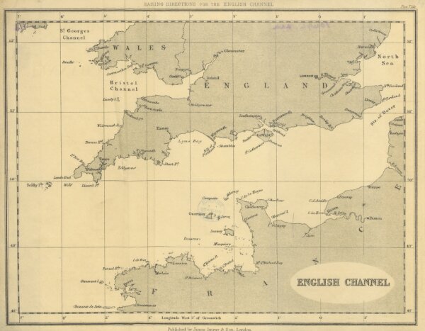
Book: Sailing Directions for the English Channel
1870
338.4 × 263.4 cm