The British Library
ArcGIS, QGIS or web apps can simply use this map with web map services. WMTS, TileJSON or XYZ tiles are provided for quick access to processed maps.
Sign in to get links.
Overlay & compare
iiif viewer, iiif info json
Website
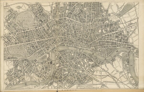
The Illustrated Hand-Book to London and its environs. With ... engravings, two maps, etc. 128
11042703853
flickr
1853
Ingram, Cooke & Co.
338.1 × 215.9 cm