The British Library
ArcGIS, QGIS or web apps can simply use this map with web map services. WMTS, TileJSON or XYZ tiles are provided for quick access to processed maps.
Sign in to get links.
Overlay & compare
iiif viewer, iiif info json
Website
11251108196
flickr2
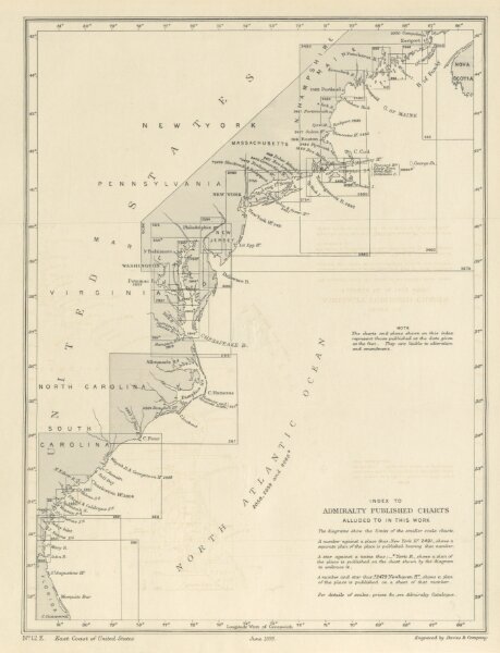
Book: Sailing Directions for the East Coast of the United States. Compiled by Capt. E. H. Hills. (Supplement, 1902.-Revised Supplement, 1908.)
1899
HILLS, Edward Holland.
Hydrographic Office
353.4 × 270.7 cm