The British Library
ArcGIS, QGIS or web apps can simply use this map with web map services. WMTS, TileJSON or XYZ tiles are provided for quick access to processed maps.
Sign in to get links.
Overlay & compare
iiif viewer, iiif info json
Website
11023982394
flickr2
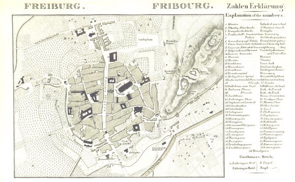
Book: Rheinischer Städte-Atlas. Enthaltend die speciellen Grundrisse von Amsterdam, dem Haag, Rotterdam, etc. Nebst einer historischen Einleitung über diese Gegenden von Dr E. D., etc
1845
DULLER, Eduard.
139.8 × 226.3 cm