The British Library
ArcGIS, QGIS or web apps can simply use this map with web map services. WMTS, TileJSON or XYZ tiles are provided for quick access to processed maps.
Sign in to get links.
Overlay & compare
iiif viewer, iiif info json
Website
11082207894
flickr2
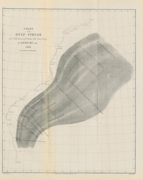
Book: [The American Coast Pilot ... from Passamaquoddy, through the Gulf of Florida ... together with the courses and distances from Cape Cod and Cape Ann ... to George's Bank ... Corrected and improved ... Ninth edition.]
1867
BLUNT, Edmund March.
G. W. Blunt
424.8 × 534 cm