The British Library
ArcGIS, QGIS or web apps can simply use this map with web map services. WMTS, TileJSON or XYZ tiles are provided for quick access to processed maps.
Sign in to get links.
Overlay & compare
iiif viewer, iiif info json
Website
11015078553
flickr2
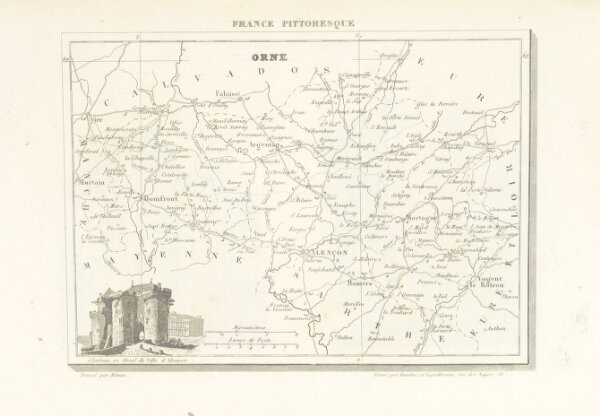
Book: France pittoresque, ou description ... des départements et colonies de la France ... pur A. H
1838
HUGO, Jean Abel Count
185.8 × 268.1 cm