The British Library
ArcGIS, QGIS or web apps can simply use this map with web map services. WMTS, TileJSON or XYZ tiles are provided for quick access to processed maps.
Sign in to get links.
Overlay & compare
iiif viewer, iiif info json
Website
11117421444
flickr2
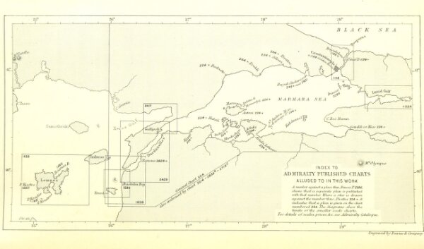
Book: Sailing Directions for the Dardanelles, Sea of Marmara, and the Bosphorus. Second edition. Published by order of the ... Admiralty
1877
LANGDON, Charles Henry Clarke.
Hydrographic Office
152.8 × 260.3 cm