The British Library
ArcGIS, QGIS or web apps can simply use this map with web map services. WMTS, TileJSON or XYZ tiles are provided for quick access to processed maps.
Sign in to get links.
Overlay & compare
iiif viewer, iiif info json
Website
10999696626
flickr2
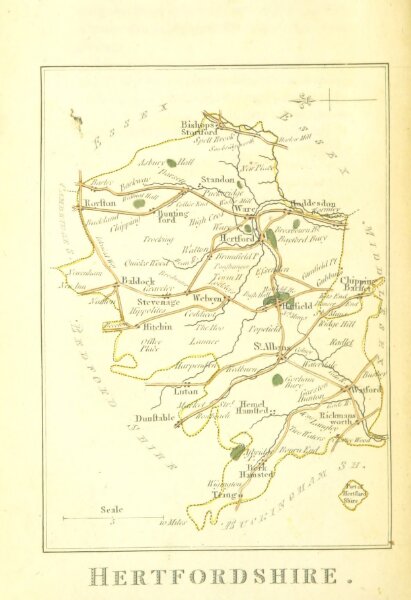
Book: The picture of England. Illustrated with colour'd maps of the several counties
1804
GREEN, William Miscellaneous Writer
124.4 × 181.4 cm