The British Library
ArcGIS, QGIS or web apps can simply use this map with web map services. WMTS, TileJSON or XYZ tiles are provided for quick access to processed maps.
Sign in to get links.
Overlay & compare
iiif viewer, iiif info json
Website
11060993735
flickr2
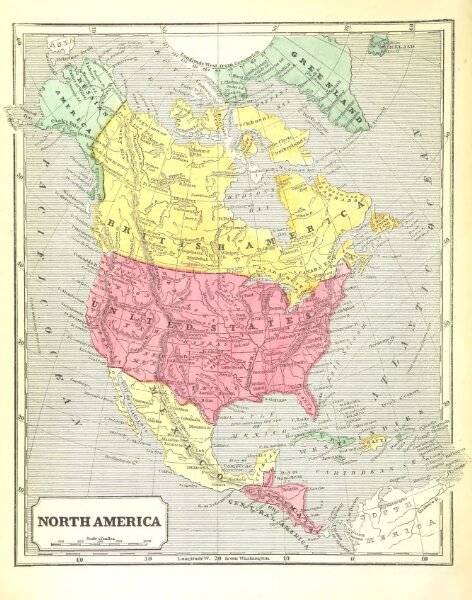
Book: [A System of Geography, for the use of Schools. Illustrated with more than fifty cerographic maps, and numerous wood-cut engravings.]
1860
MORSE, Sidney Edwards.
267 × 339 cm