The British Library
ArcGIS, QGIS or web apps can simply use this map with web map services. WMTS, TileJSON or XYZ tiles are provided for quick access to processed maps.
Sign in to get links.
Overlay & compare
iiif viewer, iiif info json
Website
11064410206
flickr2
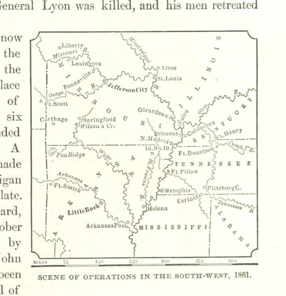
Book: History of the United States, prepared especially for schools. ... Illustrated with charts, maps, etc
1874
RIDPATH, John Clark.
94 × 97.2 cm