The British Library
ArcGIS, QGIS or web apps can simply use this map with web map services. WMTS, TileJSON or XYZ tiles are provided for quick access to processed maps.
Sign in to get links.
Overlay & compare
iiif viewer, iiif info json
Website
11193576855
flickr2
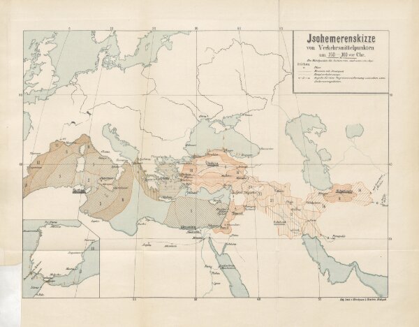
Book: Die Verkehrswege im Dienste des Welthandels. Eine historisch-geographische Untersuchung ... Mit fünf Karten
1888
GOETZ, Wilhelm of Munich
425.3 × 331.9 cm