The British Library
ArcGIS, QGIS or web apps can simply use this map with web map services. WMTS, TileJSON or XYZ tiles are provided for quick access to processed maps.
Sign in to get links.
Overlay & compare
iiif viewer, iiif info json
Website
11090299913
flickr2
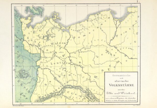
Book: [Die Territorialgeschichte des brandenburgisch preussischen Staates, im Auschluss an zehn historische Karten übersichtlich dargestellt.]
1869
FIX, W.
166.5 × 240.5 cm