The British Library
ArcGIS, QGIS or web apps can simply use this map with web map services. WMTS, TileJSON or XYZ tiles are provided for quick access to processed maps.
Sign in to get links.
Overlay & compare
iiif viewer, iiif info json
Website
11025441015
flickr2
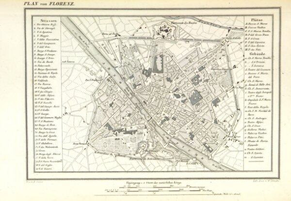
Book: Italien ... mit 12 Städteplanen und 40 Ansichten in Stahlstich
1846
MARTENS, Georg von.
168.9 × 244 cm