The British Library
ArcGIS, QGIS or web apps can simply use this map with web map services. WMTS, TileJSON or XYZ tiles are provided for quick access to processed maps.
Sign in to get links.
Overlay & compare
iiif viewer, iiif info json
Website
11000576834
flickr2
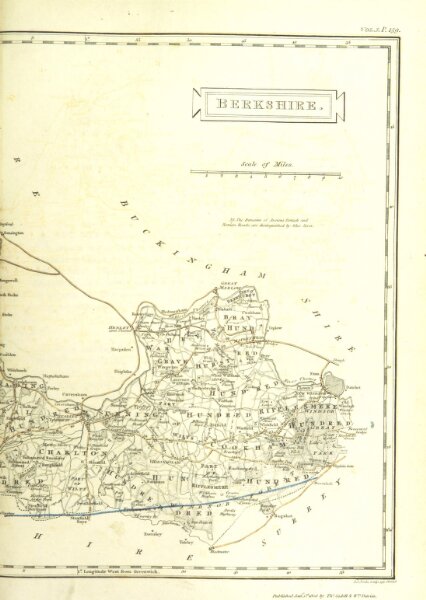
Book: Magna Britannia; being a concise topographical account of the several counties of Great Britain. [With copious illustrations.] vol. 1-6. L.P
1806
LYSONS, Daniel M.A., F.R.S., and LYSONS (Samuel) F.R.S
T. Cadell and W. Davies
219.4 × 309.1 cm