The British Library
ArcGIS, QGIS or web apps can simply use this map with web map services. WMTS, TileJSON or XYZ tiles are provided for quick access to processed maps.
Sign in to get links.
Overlay & compare
iiif viewer, iiif info json
Website
11256251154
flickr2
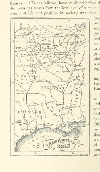
Book: [The Great South: a record of journeys in Louisiana, Texas, the Indian Territory, Missouri, Arkansas, Mississippi, Alabama, Georgia. ... Profusely illustrated from original sketches by J. W. Champney.]
1875
KING, Edward of Springfield, Mass
105.3 × 180.9 cm