The British Library
ArcGIS, QGIS or web apps can simply use this map with web map services. WMTS, TileJSON or XYZ tiles are provided for quick access to processed maps.
Sign in to get links.
Overlay & compare
iiif viewer, iiif info json
Website
11235234775
flickr2
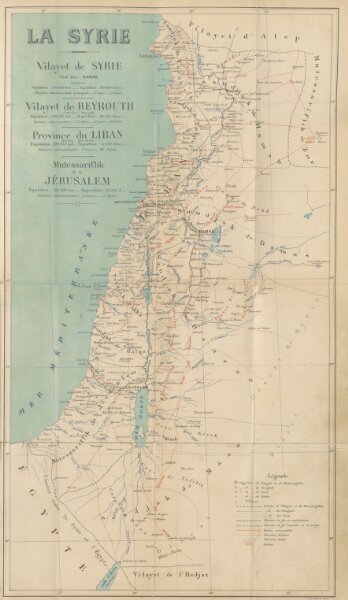
Book: Syrie, Liban et Palestine. Géographie administrative, statistique, descriptive et raisonnée. [With maps.]
1896
CUINET, Vital.
354.3 × 610 cm