The British Library
ArcGIS, QGIS or web apps can simply use this map with web map services. WMTS, TileJSON or XYZ tiles are provided for quick access to processed maps.
Sign in to get links.
Overlay & compare
iiif viewer, iiif info json
Website
11088657145
flickr2
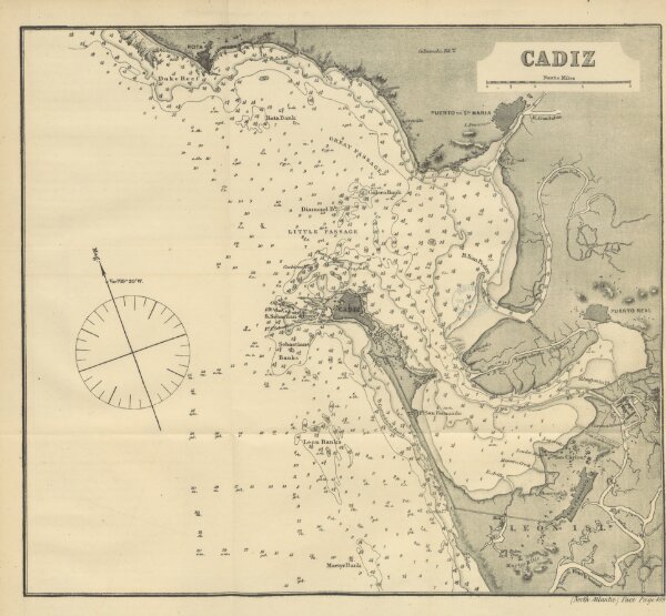
Book: [North Atlantic Directory. The physical geography and meteorology of the North Atlantic; together with sailing directions for the principal ports and harbours of Europe, N. America, N. Africa, and the N. Atlantic Islands, etc.]
1869
ROSSER, William Henry.
J. Imray & Son
385.6 × 356.8 cm