The British Library
ArcGIS, QGIS or web apps can simply use this map with web map services. WMTS, TileJSON or XYZ tiles are provided for quick access to processed maps.
Sign in to get links.
Overlay & compare
iiif viewer, iiif info json
Website
11061433785
flickr2
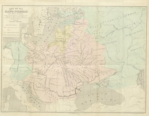
Book: Histoire de la Lithuanie et de la Ruthénie jusqu'à leur union définitive avec la Pologne conclue à Lublin en 1569 ... Traduit par E. Rykaczewski, avec les notes du traducteur
1861
LELEWEL, Joachim.
530.3 × 413.7 cm