The British Library
ArcGIS, QGIS or web apps can simply use this map with web map services. WMTS, TileJSON or XYZ tiles are provided for quick access to processed maps.
Sign in to get links.
Overlay & compare
iiif viewer, iiif info json
Website
11011514795
flickr2
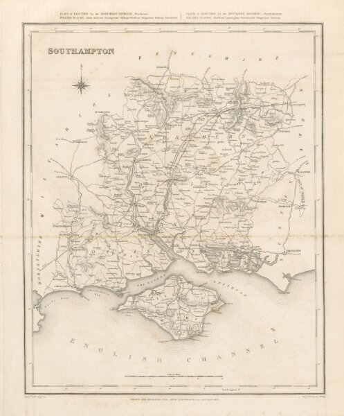
Book: [A Topographical Dictionary of England ... and the Islands of Guernsey, Jersey and Man ... with maps ... and a plan of London, etc.]
1835
LEWIS, Samuel Topographer, the Elder
S. Lewis & Co.
383.5 × 317.7 cm