The British Library
ArcGIS, QGIS or web apps can simply use this map with web map services. WMTS, TileJSON or XYZ tiles are provided for quick access to processed maps.
Sign in to get links.
Overlay & compare
iiif viewer, iiif info json
Website
11003141895
flickr2
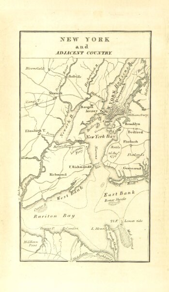
Book: A Geographical Description of the United States with the contiguous British and Spanish Possessions, intended as an accompaniment to Melish's map of these countries
1816
MELISH, John.
125.8 × 216.3 cm