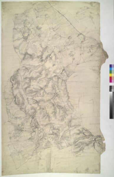
This drawing covers part of north-east Lincolnshire, showing Grimsby and its harbour on the Humber estuary at top right. An important seaport since the Middle Ages, Grimsby declined in importance as its harbour became blocked by silt from the Humber. The harbour was improved and expanded in the 18th and 19th centuries. Grimsby is now the main fishing port of Great Britain.