The British Library
ArcGIS, QGIS or web apps can simply use this map with web map services. WMTS, TileJSON or XYZ tiles are provided for quick access to processed maps.
Sign in to get links.
Overlay & compare
iiif viewer, iiif info json
Website
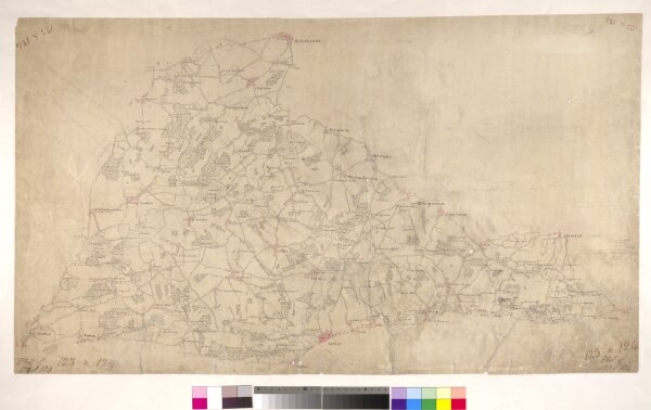
Alton
002OSD000000008U00079000
osdrawings
This map depicts a part of Hampshire's North Downs, particularly the chalk hills to the south of Basingstoke. Buildings appear infilled and blocked in red ink at the main settlements of Basingstoke, at the top of the plan, and Alton, at the bottom.
1808
1808-1810
Hewitt, John
23 × 39 cm