The British Library
ArcGIS, QGIS or web apps can simply use this map with web map services. WMTS, TileJSON or XYZ tiles are provided for quick access to processed maps.
Sign in to get links.
Overlay & compare
iiif viewer, iiif info json
Website
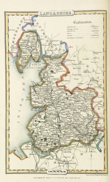
A Pocket Topography and Gazetteer of England. ... Illustrated by maps of the English counties, and vignettes of cathedrals, etc
11020006456
flickr
1842
PIGOT, James AND CO
131 × 215.8 cm