The British Library
ArcGIS, QGIS or web apps can simply use this map with web map services. WMTS, TileJSON or XYZ tiles are provided for quick access to processed maps.
Sign in to get links.
Overlay & compare
iiif viewer, iiif info json
Website
11181746283
flickr2
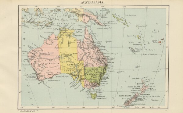
Book: Orient Line Guide. Chapters for travellers by sea and by land. Illustrated. A new edition, ... augmented, with maps ... for the voyage between England and Australia. Edited ... by W. J. Loftie
1885
LOFTIE, William John.
Sampson Low & Co.
385.7 × 238.6 cm